Talk with our local travel specialist who can help organize your trip.
Climbing
The history of Everest will be changed today
- Third Rock Adventures
- Posted on: Mon Dec 7, 2020
Kathmandu, December 8
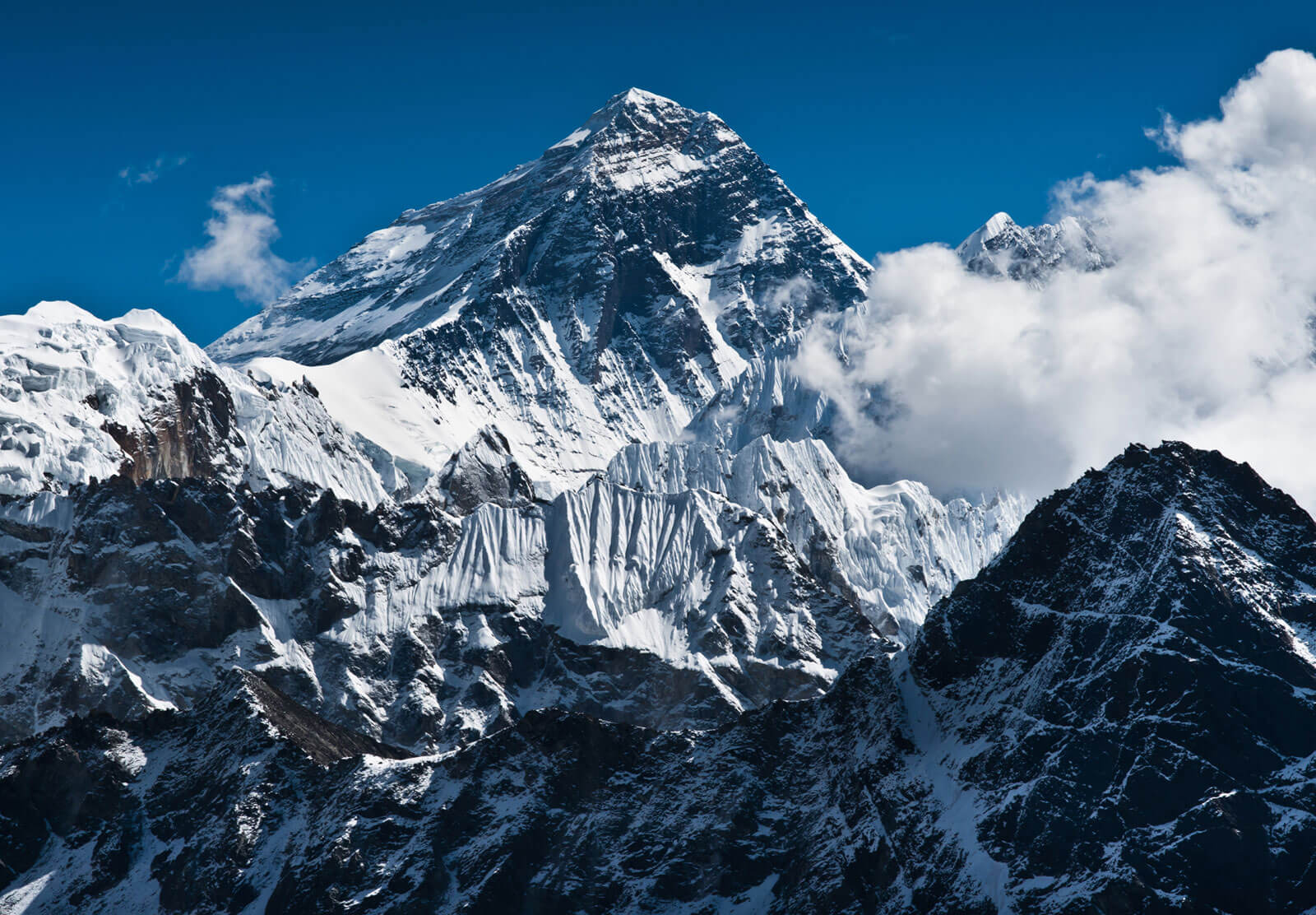
Nepal and China are jointly announcing the height of Everest on Tuesday. The height of Mount Everest, which was completed five months ago, will be made public only after approval from China. The height was decided last June after the necessary 'processing' of the data brought by two employees of the Department of Surveying and Mapping a year and a half ago. However, the height is being made public only by asking the Chinese side.
According to Prakash Joshi, Director General of the Department of Surveying and Mapping, the data collected by the Department of Surveying and Mapping has been processed in its own laboratory. He said that the height of Mount Everest is being announced jointly after discussions at the level of the Chinese counterpart technical and steering committee.
After the visit of Chinese President Xi Jinping to Nepal last year, China was also involved in measuring the height of Nepal alone.
In a joint statement issued during the visit, it was mentioned that Nepal and China would jointly declare the height of Mount Everest (Chomolongma). The issue of China's involvement in the height declaration program has also been questioned. The then top official of the Ministry of Land Management and Cooperatives did not propose to include China in the height measurement and declaration.
In a joint statement, Mount Everest was described as an "eternal symbol of Nepal-China friendship" and the two countries pledged to address the issue of climate change and protect the environment. The joint height declaration has been added at the end of the same point.
An official of the ministry told Barhakhari, "Since the Ministry of Land Management has not submitted the proposal, the issue of climate change has been added through the Ministry of Forests, adding one sentence to it."
According to sources, the nearest coastline from Nepal is in Calcutta, India, and on the same basis, the height of Everest was to be measured on the basis of various base points through Siraha district, which was not accepted by the Chinese side. The reason was that China was pushing hard to measure the height of Mount Everest through its territory.
Some border experts have argued that after President Xi's visit, China has been credited with measuring altitude, which conveys the message that Mount Everest is no longer just Nepal's. A high-ranking official of the ministry also confirmed this and said that it would send a message that Mount Everest is not only Nepal's.
Another reason for this is that China has been considering the height up to the rock as the official height. Considering 4 meters of snow on the summit of Mount Everest, China calls the height of Mount Everest 8,844 meters. However, Nepal has been claiming the highest peak height of 8,848 meters.
In 1954, according to Gulati, the height of Mount Everest was 8,848 meters and in 1975, the Chinese Bureau of Survey and Mapping from Tibet measured 8,844.43 meters.
In 1999, Professor Warband Bourbon of the Boston Museum of Science first measured 8,850 meters using GPS technology. The government of Nepal, on the other hand, has been considering the 8,848 meters measured by the Survey of India as the official height of Everest.
Representatives from peer-to-peer countries are being connected through virtual media, while some indigenous experts have been invited to the program at 1.30 pm on Tuesday.
Budhinarayan Shrestha, a former director general of the Department of Border Surveyors, does not accept that Everest will be halved on the basis of height declaration. He says, "The announcement is being made by both countries at once to reassure scholars around the world. There are suspicions that the comments have been halved on social media as well, but that is not the case."
Everest can be climbed not only from Nepal but also from China. But, you have to go back to where you came from. On the other hand, all royalty visa permits have to be paid. Who owns Mount Everest now? Shrestha's answer is, "The world knows that it belongs to Nepal. But now, if rumors are spread that Mount Everest belongs to China, it is not considered to be true."
He claims that there is an agreement between Nepal and China that Mount Everest belongs to Nepal. The then Chinese Prime Minister Zhou Enlai has announced that the summit in Chomolong belongs to Nepal. He had said this while addressing a press conference at the gallery meeting of Singha Durbar on April 3, 2017.
He said that there was a treaty between Nepal and China to support the same declaration.
Shrestha says, "The summit of Everest falls in Nepal. However, you can climb from both sides."
The demarcation of the two countries was mapped in 1961. Even on that map, the summit of Mount Everest is in Nepal. Before the map was made, a 'border treaty' was signed between Nepal and China. The agreement was signed in Beijing in October 1961 by then-King Mahendra and Chinese President Liu Xiaochi.
After the treaty, Nepal got 300 square miles of land and Mount Everest became Nepal's.
Shrestha says it is important to make a joint declaration to reassure the world's scientists, geologists and border experts. At an international conference in December 2017, experts and representatives from China, India, the United States, Bangladesh, New Zealand, the United Kingdom and other countries suggested declaring a height in the neighborhood.
It is believed that the world will be reassured if the two countries make a joint declaration for the sake of credibility. However, an official of the ministry said that the announcement conference should be held with the participation of geologists and surveyors from all over the world.
How does Mount Everest belong to Nepal?
Even though the message of Mount Everest was conveyed by both the countries when declaring it jointly, Shrestha suggests understanding that the top of Mount Everest belongs to Nepal. Shrestha said, "Half of the fend belongs to China to the north and Nepal to the south. But, the peak falls in Nepal." How so The Nepal-China border has been fixed according to the principle of 'water flow'. That is, the part of the land that flows from the sky towards China is China and the part of the land flowing towards Nepal is Nepal.
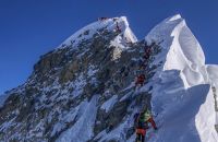
According to Shrestha, the 'topmost height' of Everest falls to the south of the slope. The 7-by-8-foot sloping terrace adjoining the top elevation (8,848 m) belongs to Nepal. No matter where you climb, you can't fly a flag on the sloping terrace without reaching the sloping terrace. You can't take a photo, "he said."
Shrestha says that the ascent of Mount Everest belongs to Nepal, believing that the ascent will be successful only if one steps on the territory of Nepal.
According to the agreement made by Bishweshwar Prasad Koirala in 2002, Mount Everest belongs to Nepal. They understand that even if the water is considered to be muddy elsewhere, it should not be called muddy water after Mount Everest Nepal. They see the Fed saying that it is on both sides leaning towards China. He says, "Everest is our name. The other side is a little farther away."
The height to be announced on Tuesday is that the snow is not yet open without snow. However, both systems have been adopted in the world. For example, Mount Washington in the United States and the Alps in Europe are based on snow. There are two arguments about Mount Everest.
At different times since 1954, various bodies around the world have measured the height of Mount Everest and concluded that it is different. However, the measurement of the height of Mount Everest by various bodies in their own way was not officially recognized. The Survey of India had earlier proposed to Nepal to measure the height of Mount Everest saying that it had measured the height of Mount Everest.
In 2017, the then Sher Bahadur Deuba government had decided to measure the height of Everest by Nepal itself.
There have been various discussions and comments about the official status of the height of Mount Everest as the highest peak in the world, so far Nepal has not measured the height of Mount Everest itself, the measurements made by China, India and other countries have become internationally controversial. Considering the impact of the catastrophic 'Gorkha Earthquake' of 2015 and other reasons, it is necessary to find out the height and location of Everest. The height of Everest is determined using 12 control points.
- Third Rock Adventures
- Posted on: Monday Dec 7, 2020






Leave a comment / Call Us at +977 9851055684
Your email address will not be published. Required fields are marked *