Mera Peak Climbing Map
Mera Peak Climbing Map is a high-quality digital map designed exclusively for the Mera Peak Climb itinerary and incorporates the basic functionality of zoom in and zoom out. This map represents the detailed trail route you'll follow during the Mera Peak Climbing expedition. Mera Peak Map provides in-depth information about the trekking trails, major landmarks, and routes to the top of Mera Peak. This Mera peek digital map is simple to use, primarily created to enhance your climbing expedition to Mera Peak. It shows an accurate overview of the trip with just enough information. Click on the plus sign at the top-right to zoom in and the minus sign to zoom out.
The map includes standard sets of icons, differently shaped and colored symbols that are the graphical representation of information and represent features like International Boundary, National Park Boundary, Highway, Main Trekking Route, Secondary Trekking Route, Peaks, Temple, Monastery, Chorten, Airport, Helipad, Glacier, Rivers, overnight Hotels, Camps, Mountain Passes and many more.
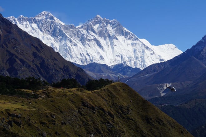
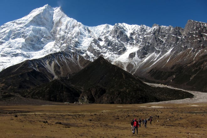
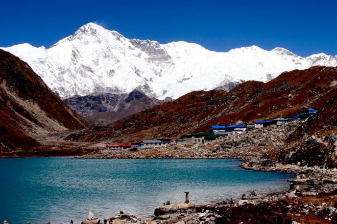
Mera Peak is a popular trekking peak in Nepal, best suited for first-time climbers with little to no mountaineering skills and climbing experience. Mera Peak, at 6,476 m, is the highest trekking peak in Nepal and a non-technical adventurous climb, ideal for both professional and novice climbers. This expedition takes you through high mountain passes, glacial rivers, quaint villages and pristine Hinku Valley. From the high camp and Mera Peak summit, climbers can admire breathtaking views of Everest, Kanchenjunga, Lhotse, Cho Oyu, and Makalu, and surrounding peaks.
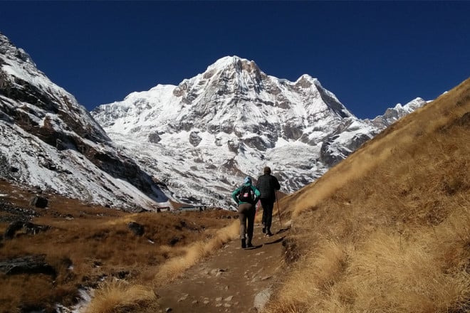
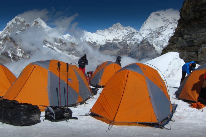
Your expedition to the Mera summit comprises trekking through a secluded trail; to Mera Peak High Camp at 5,780m and ascending to the summit from the camp. Before the summit push, there will be a pre-climb training at Khare, a popular acclimatization stop along the route. The Mera Peak Climb itinerary traverses the pristine Hinku Valley and diverts from the busy Everest Base Camp trail.
Once you land at the Lukla airport, you can trek to Paiya or Chutanga. The longer itinerary takes you through Paiya and takes a total of 18 days. The 14-day itinerary lets you explore the trail weaving through Chutanga. Trekkers who are pressed for time can opt for this itinerary. Both the trail leads to Khare before ascending to Mera High Camp. At Khare, you'll spend an extra day acclimatizing and training for the final push to the summit. The final ascent to the summit will commence at 2 in the morning, only when the weather allows for it. From the summit, you can embrace stunning views of five of the 14 eight-thousanders.
After celebrating your successful ascent to the Mera Peak summit, you will descend to Khare and retrace your steps to Lukla via Kothe and Thuli Kharka. From Lukla, catch a flight to Kathmandu. For the resting grounds and major teahouses, and camping spots, this map shows a visual representation of information. The dark yellow dotted line on the map shows the main trekking trail, and the light dotted yellow line shows the secondary trekking trail of the region. The map covers all essential landmarks you'll encounter during the trek and all camping grounds.


